Land Surveying Services
Mile High Drones can make land surveying faster and more accurate. Quick turnaround time will pay itself off, not to mention the safety of personnel. Drones can access all areas and allow you to remotely collect the required data. Inaccessible and potentially hazardous terrains are no longer a problem.
Track progress from above and use collected materials for promotional purposes. You can easily capture the surrounding area and shoot pictures and videos for your progress reports. Get 3D models and a fully interactive map in no time. Land surveys can take weeks, but with aerial photography and aerial videos, you can easily capture the required land footage in a matter of hours.
Gather data in a prompt manner and focus on analyzing rather than on acquiring.
Sample Deliverables
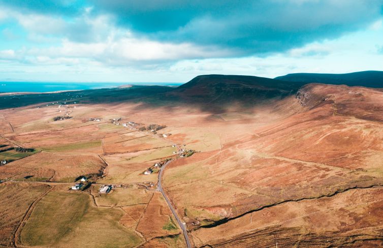
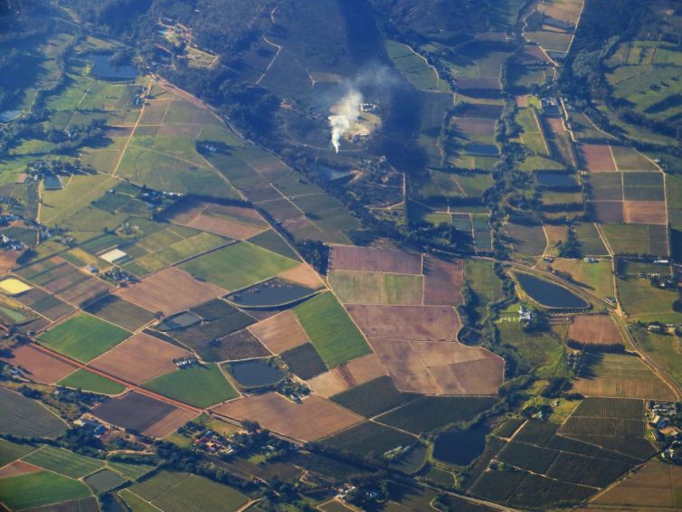
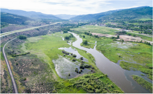
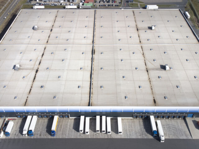
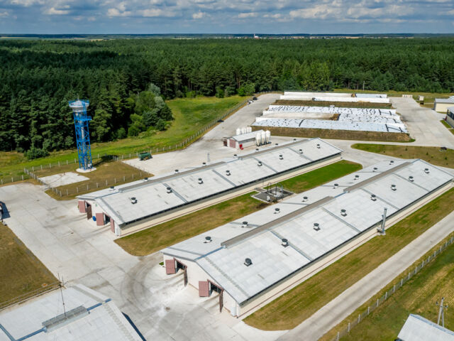
Here are some examples from past projects. The end deliverable for most projects is a consolidated report with summarized findings and recommendations.
Our Services
Related Industries
From Our Blog
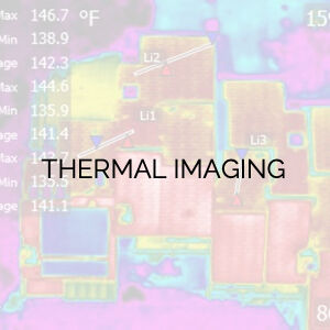
Moisture mapping is the process where thermal imaging is used to find the areas in your commercial building where moisture is present.
Has the demand for your services been limited due to your ability to perform certain types of inspections, such as moisture mapping?


