Agriculture Industry
Drones are changing agriculture. They are being used to gather useful and actionable information about crops. Drones provide an aerial view of crops and collect data that is a cost-effective replacement for satellite and aerial data collected from helicopters and planes. It provides data to help maximize and estimate yields, track changes in crop health, or inspect for needed drainage and irrigation repairs. When it comes to crop health, they can monitor and detect pests and fungal infestations, saving costly remediation or loss.
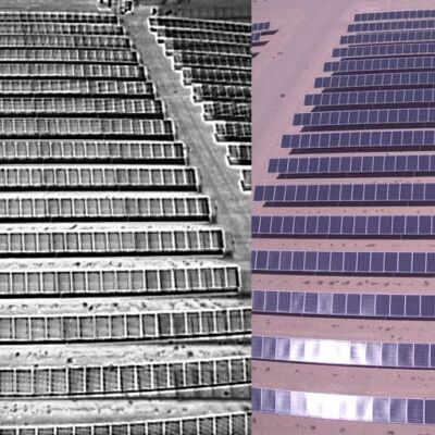
They can create detailed NDVI data using infrared cameras, RGB optical cameras, and multi-spectral cameras. Farmers, agronomists, and stakeholders in agriculture are switching to drones, and Mile High Drones is here to help you do the same.
Sample Deliverables
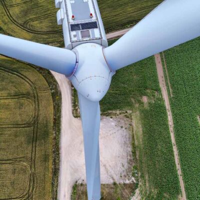
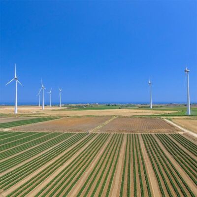
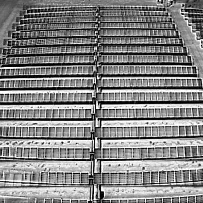
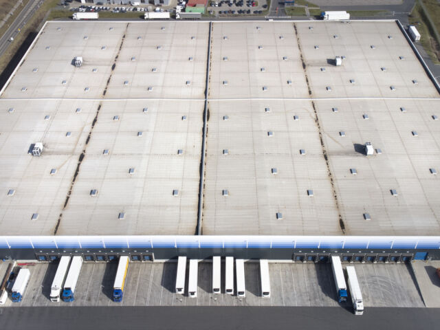
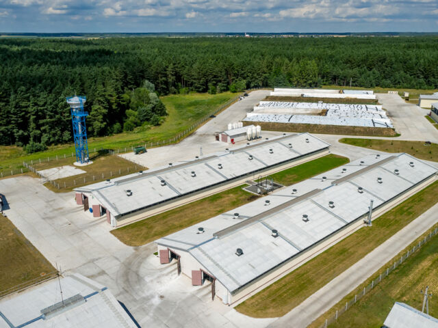
Here are some examples from past projects. The end deliverable for most projects is a consolidated report with summarized findings and recommendations.
Related Services
Industries We Serve
From Our Blog
Moisture mapping is the process where thermal imaging is used to find the areas in your commercial building where moisture is present.
Has the demand for your services been limited due to your ability to perform certain types of inspections, such as moisture mapping?


