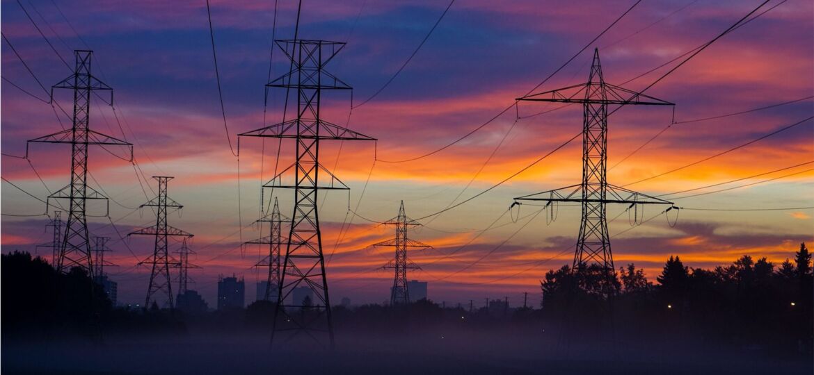
Utility companies employ Geographic Information Systems (GIS) to capture, manage, store, and share high-resolution information and accurate 3D geospatial models….
Modeling
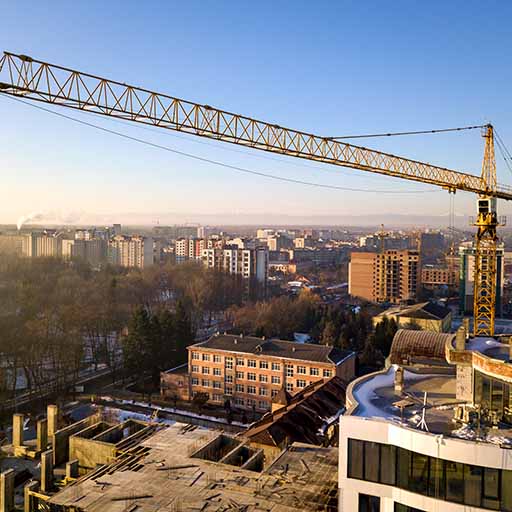
We as a country depend a great deal on the use of cranes. Everything from industrial construction to the smooth…
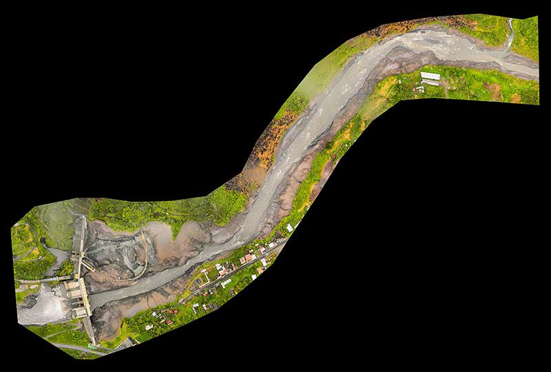
Aerial survey methods have come a long way in the last few years in terms of availability and cost of…


